Santorini map: where every village, beach and port is
Santorini is a small crescent-shaped island. Here is how to read its map: where the caldera is, where the beaches are, and how far things are.
- Santorini is in the southern Cyclades, about 200 km from Athens and 140 km from Crete; about 90 km².
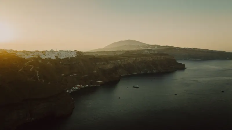
- The west is the caldera with cliff-top villages (Fira, Imerovigli, Oia); the flat east has black-sand beaches (Kamari, Perissa).
- The airport is on the east side near Kamari; Athinios ferry port sits below the cliffs south of Fira.
In Santorini everything is close: most places are 10–30 minutes apart. Pick a base for what matters to you, caldera view or beach.
Where is Santorini?
Santorini (Thira) lies in the southern Cyclades in the Aegean, about 200 km from Athens, 150 km from Mykonos and 140 km from Crete, between Ios and Anafi. It was formed by volcanic eruptions and is surrounded by islets: Thirasia, Aspronisi, and the volcanic Palea Kameni and Nea Kameni in the middle of the caldera.
How to read the map
The island is a crescent around the caldera, a flooded volcanic crater.
- West: the caldera. High cliffs with villages on the rim: Oia in the north, then Imerovigli and Firostefani, and Fira, the capital, in the centre.
- East: the beaches. The land slopes gently to the sea with black volcanic sand: Kamari, Perissa and Perivolos.
- South: Akrotiri. The archaeological site, Red Beach and the lighthouse.
- Centre: Pyrgos and Megalochori, hill villages with views both ways.
Key areas
| Place | Where | Best for |
|---|---|---|
| Fira | Centre of the caldera | Capital, main bus station, nightlife |
| Imerovigli and Firostefani | North of Fira | Caldera views, quiet |
| Oia | Northern tip | Famous sunset, luxury hotels |
| Kamari | East coast, near the airport | Beach, families, lower prices |
| Perissa and Perivolos | South-east coast | Long beach, tavernas |
| Akrotiri | South-west | Archaeology, Red Beach |
| Athinios port | Below the cliffs, south of Fira | Ferries |
Approximate distances
Fira–Oia about 20 minutes, Fira–airport about 15, Fira–Athinios about 20 on a winding road, Fira–Perissa about 25. Roads are busy in summer, so leave extra time before a ferry or flight. These are our estimates; check Google Maps before you travel.
Using Google Maps in Santorini
- Download an offline map before you fly; reception can be weak on the cliffs.
- Save your hotel as a pin; addresses in Oia and Fira lanes are vague.
- Check KTEL stops: buses run from Fira to all villages and beaches.
Next steps
Where to stay in Santorini, Santorini beaches, flights to Santorini, is Santorini expensive and the Santorini destination page.
FAQ
Where is Santorini on the map? In the southern Cyclades in the Aegean, about 200 km from Athens and 140 km north of Crete.
How big is Santorini? About 90 km²; you can drive across it in under an hour.
Where is the caldera? On the west side of the island, where Fira, Imerovigli and Oia sit.
Where are Santorini's beaches? Mainly on the east and south: Kamari, Perissa and Perivolos, plus Red Beach near Akrotiri.